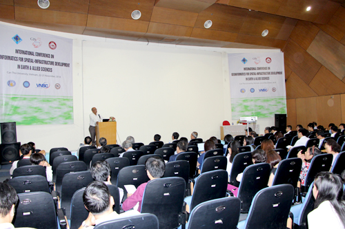
From November 22nd to 25th, 2018, Japan-Vietnam Geoinformatics Consortium (JVGC) in collaboration with Can Tho University (CTU) and Osaka City University (OCU) held the International Conference on GeoInformatics for Spatial-Infrastructure Development in Earth & Allied Sciences (GIS-IDEAS) in 2018. The Conference were attended by scientists, lecturers, students from Japan, Thailand, the Philippines, Taiwan, and Vienam.
 |
|
The Conference's opening was taken place at Learning Resource Center, CTU |
The main theme of the GIS-IDEAS 2018 is "Geoinformatics for Rural-Urban Synergy". The GISIDEAS 2018 focuses on application of GIS, Remote Sensing, GPS and Geoinformatics Education to address issues related to our natural, social and human environment. Apart from Technical Sessions on Geoinformatics technologies and applications, special sessions are on following topics: Geo-IoT for Monitoring and Evaluation, Machine Learning in RS/GIS, Rural-Urban Environmental Management, Water Resources Security, Smart Urban and Smart Agriculture, Visualization of Spatio-temporal Geoscientific Data, Education, Capacity Building and Outreach, Open Source, Open Standards and Open Data for Geoinformatics, Area Informatics and Applications.
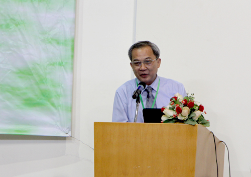
Speaking at the Conference, Assoc. Prof. Dr. Le Viet Dung, Vice Rector of CTU, appreciated the success of the series of GIS-IDEAS on scientific exchanges, technology transfer, student-staff exchange, joint research, especially setting up networking of scientists as well as GIS community. The Vice Rector hoped that the results from GIS-IDEAS 2018 would offer important contribution to solving issues of the Mekong Delta, besides developing the networking of scientists and tightening the relationship between CTU and the University's partners.
 |
|
Assoc. Prof. Dr. Le Viet Dung, Vice Rector of CTU, in his opening speech |
 |
|
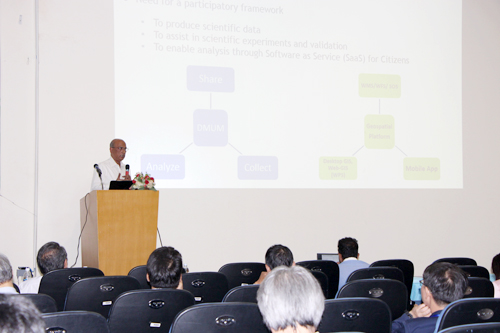
Prof. Venkatesh Raghavan, Osaka City University, presented on field data aggregation and evaluation using free and open source geospatial software |
 |
|
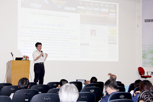
Prof. Yuei-An Liou, National Central University, Taiwan, reported on GIS development in Taiwan |
 |
|
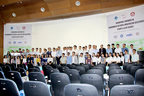
Group photo |
(Information and Network Management Center)



 Undergraduate